What property managers should record during every drone inspection
Why consistent documentation matters
Every drone flight over a property generates a batch of raw images and video. Without a clear plan for what to capture and how to record it, those files become hard to use later. Property managers who treat each flight as a structured data collection get far more value from the time and money spent on aerial inspections. The goal is to build a reliable record that supports maintenance decisions, tenant communication, insurance claims, and long-term planning.
Good documentation starts before the drone takes off. The property manager should have a simple checklist that covers the basics: date, time, weather conditions, the purpose of the flight, and the areas that need attention. This context turns a folder of photos into a meaningful log. When a roof leak appears six months after a storm, the manager can pull up the relevant flight data to see whether the damage was pre-existing or recent.
The core items to record every time
Each drone visit should produce a standard set of records. The exact list depends on the property type and the manager's priorities, but certain elements belong in every file.
Flight metadata
Every inspection needs basic flight information: the date, start and end times, the drone model and camera settings, and the flight path. Many drone platforms log this automatically, but the property manager should verify that the data is saved with the images. This metadata becomes essential when comparing two flights weeks or months apart. Without it, the manager cannot tell whether a change in roof condition is due to weather, a different camera angle, or a different time of day.
Visual coverage of all critical zones
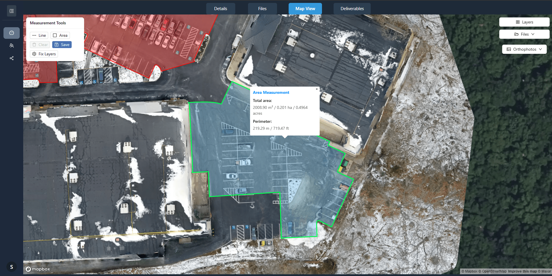
The drone should capture the roof surface, gutters, downspouts, HVAC units, skylights, parapets, and any other rooftop equipment. For multi-building sites, the flight plan should cover each building from multiple angles. The property manager should also request a 360 panorama from a few key vantage points. Those panoramas give a quick overview of the entire roof area and make it easy to spot changes in the general condition.
The same applies to the ground-level exterior: parking lots, walkways, landscaping, fencing, and building facades. A consistent set of views each time allows the manager to overlay images and see exactly what has shifted, cracked, or grown over the interval.
Close-ups of known issues
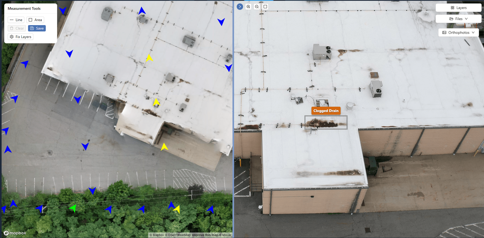
If a previous inspection noted a crack in the membrane, a blocked gutter, or a loose flashing edge, the next flight should include close-up photos of that exact spot. The property manager should mark the location on a site map so the pilot can find it again without guesswork. Over time, these repeated close-ups show whether a small problem is getting worse or staying stable.
Notes on environmental conditions
Weather at the time of the flight matters. Rain, snow, or high winds can affect the appearance of roof surfaces and make some defects look worse or better than they are. The manager should record temperature, humidity, wind speed, and any recent precipitation. This context helps avoid false alarms. A wet patch on a flat roof might be a ponding issue that only appears after heavy rain, not a structural leak.
How an archive turns raw data into a working tool
A property manager who simply stores drone images in a folder is missing the real benefit. The value comes from building a drone imagery archive that organizes each flight's output by date, building, and issue type. This archive becomes a searchable reference for future work. When a contractor asks for roof condition history, the manager can pull up the relevant images and flight logs in minutes. When an insurance adjuster needs proof of pre-existing damage, the manager has a dated, timestamped record.
An archive also supports budget planning. By reviewing a year's worth of aerial images, the manager can see which roofs need repair, which gutters fill up fastest, and which HVAC units are losing efficiency. The visual evidence makes it easier to justify capital expenditures to owners or board members. Instead of describing a problem, the manager shows a series of photos that document the decline.
Organizing the archive for easy retrieval
Set up a folder or database structure by property, then by date. Each flight should have a unique ID that links to the flight metadata. Tag each image with the zone it covers: roof, gutter, HVAC, facade, parking, landscaping. The property manager should also add a short note about the purpose of the flight: routine inspection, post-storm check, pre-purchase survey, or follow-up on a specific issue.
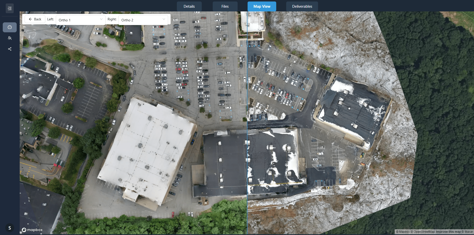
This structure makes it possible to compare the same zone across different dates. For example, the manager can align images of the same roof section from March and September and see whether a crack has widened. Some drone data platforms offer built-in comparison tools, but even a manual side-by-side view in a photo viewer is effective.
When the archive helps most
A consistent archive pays off in several scenarios:
- After a storm, the manager can quickly check whether the roof or gutters suffered new damage by comparing post-storm images with the most recent pre-storm flight.
- During a tenant dispute about a leak or structural issue, the manager can produce date-stamped photos that show the condition at move-in and at each subsequent inspection.
- When planning a roof replacement or major repair, the manager can show the contractor a complete visual history, making the bid process more accurate and reducing surprises.
- For insurance renewals or claims, the archive provides objective evidence of the property's condition over time, which can help avoid disputes about pre-existing wear.
Common mistakes to avoid
One common error is treating every flight as a one-off event. The property manager may send a pilot out to check a specific issue and never store the full flight data. Later, when that same issue comes up again, there is no baseline to compare against. Another mistake is skipping the metadata. A folder full of photos with no date, no flight path, and no notes is nearly useless for trend analysis. The manager also needs to ensure that the images are high enough resolution to show fine details like hairline cracks or small debris blockages. A low-resolution or compressed image may hide the very defect the inspection aims to find.
Finally, the manager should avoid relying only on the drone operator to store the data. The property manager should keep a copy of every flight's output in the drone imagery archive that the management company controls. If the drone operator changes, the archive stays intact. The manager can then hand the whole history to a new provider without losing context.
Building a habit that saves time later
Documenting every drone visit thoroughly takes a little extra time on the day of the flight. But that small investment prevents hours of searching, guessing, and re-flying later. Property managers who adopt a structured approach to their aerial records find that the archive becomes one of their most valuable tools for facility condition tracking, maintenance planning, and communication with owners and insurers.
Start with a simple template. Fill in the metadata, capture the standard views, note any issues, and store everything in a consistent folder structure. Over a few months, the archive grows into a visual diary of the property's health. That record is worth far more than the sum of the individual flights.